Thinking about a move to Manteca but not sure what daily life really looks like? You want a place with more space, solid parks, and practical commute options without giving up everyday conveniences. In this guide, you’ll get a clear, local-friendly view of Manteca’s neighborhood types, how people get around, parks and recreation options, and where you’ll likely run your errands. Let’s dive in.
Manteca at a glance
Manteca sits in San Joaquin County in the northern San Joaquin Valley. Many residents choose it for access to Bay Area job centers and for a more suburban lifestyle. Home prices are typically lower than many Bay Area markets, which is part of the draw for first-time and move-up buyers.
You can expect a classic Central Valley climate. Summers are hot and dry. Winters are mild and wetter. Air quality can vary by season, especially during some wildfire years, so it helps to track conditions as you plan outdoor time.
Neighborhoods: what you’ll find
Manteca isn’t one-size-fits-all. You’ll see a mix of older core areas, newer master-planned tracts, commuter-friendly subdivisions near freeways, and semi-rural edges.
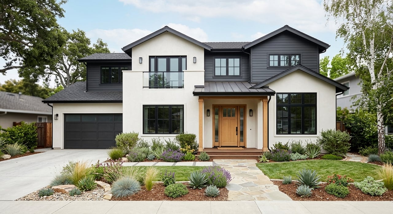
Downtown and historic areas
Older homes on compact lots cluster around the city’s core. You’ll find a traditional street grid and proximity to local dining, services, and civic events. The trade-off is that some properties may need updates and lots are typically smaller.
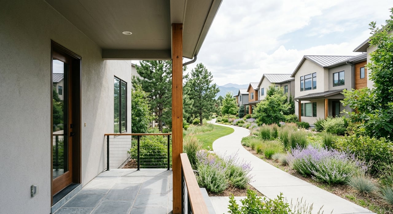
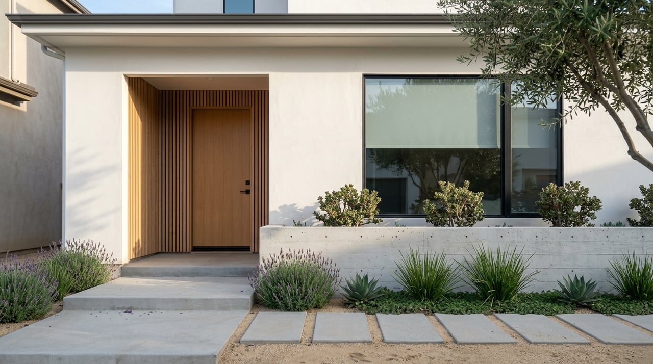
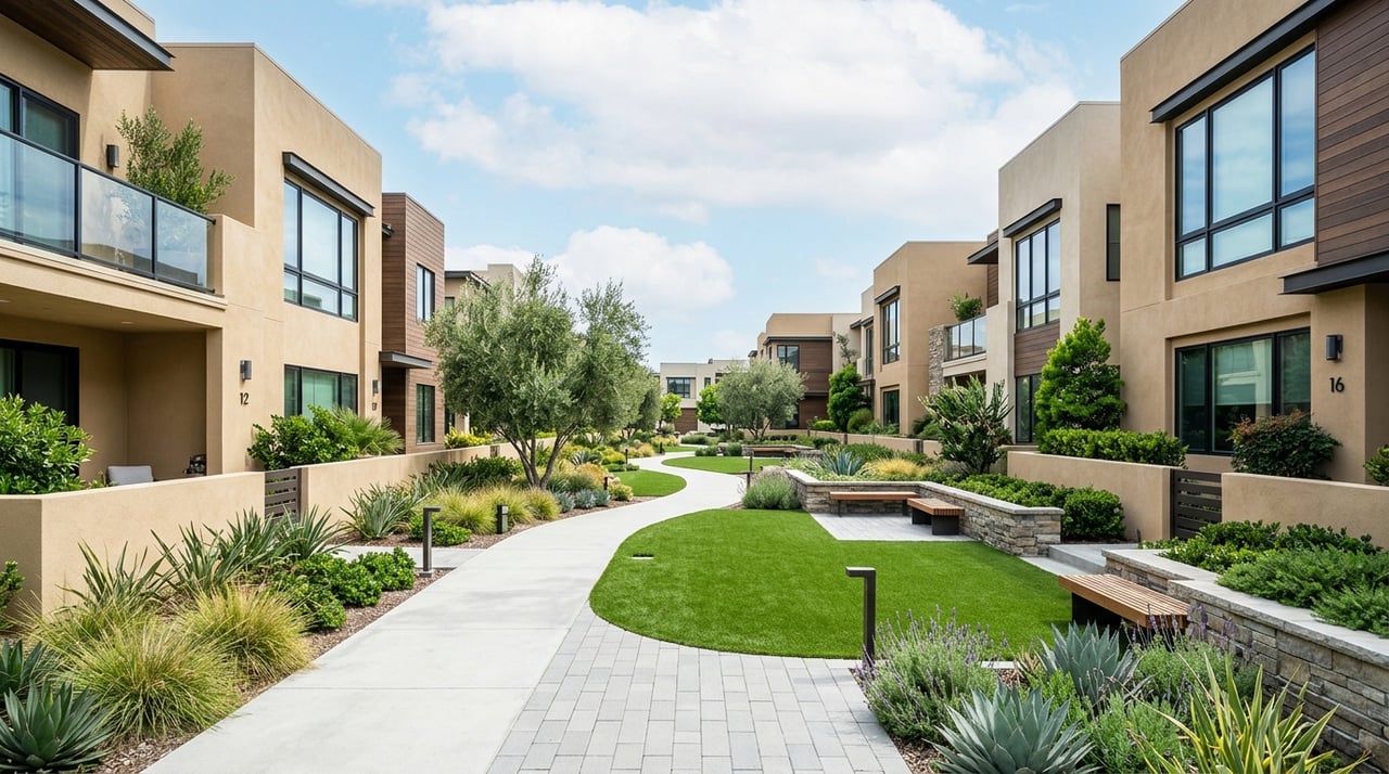
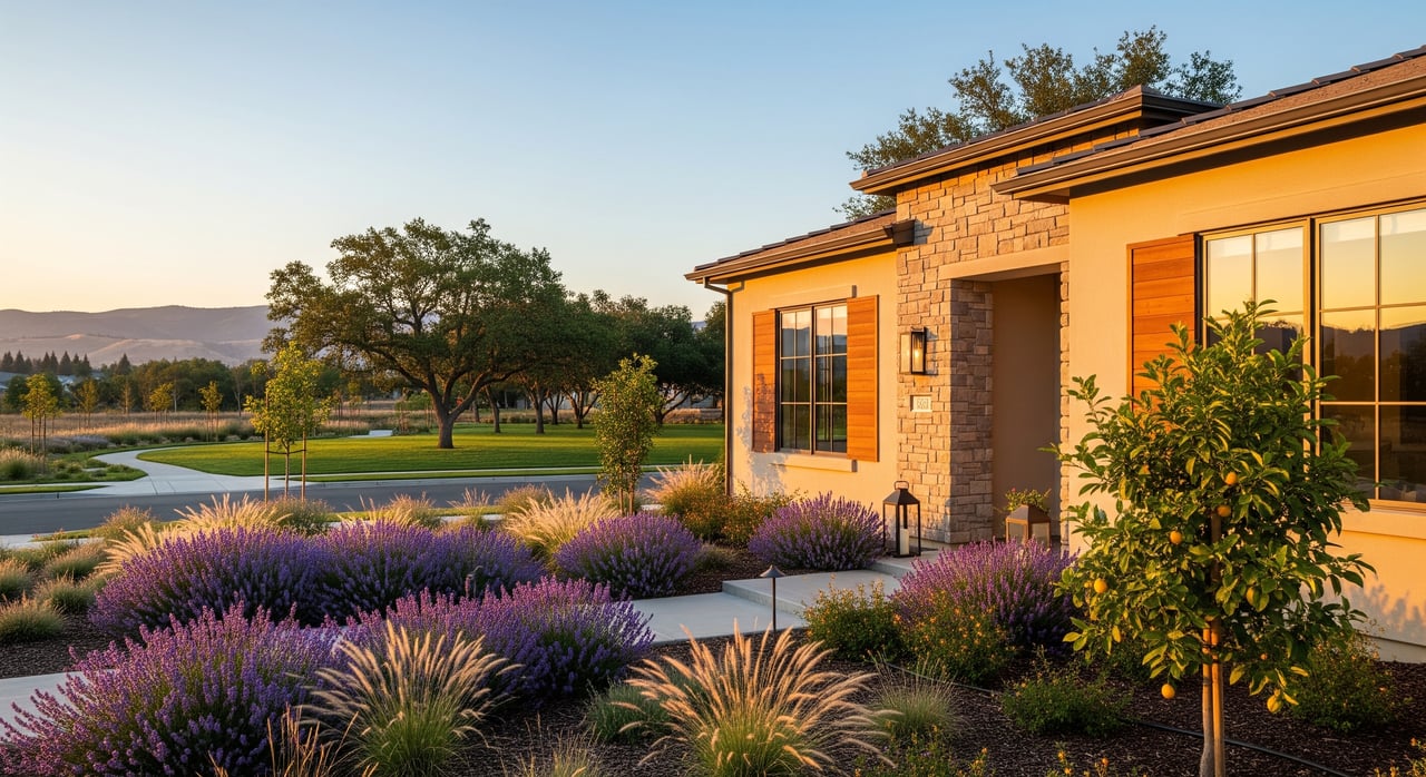
Newer master-planned suburbs
From the 1990s onward, large subdivisions brought modern floor plans, open-concept living, and neighborhood parks. These areas often appeal to buyers who want more square footage and planned green space. Some communities include HOAs with rules that help maintain uniform standards.
Freeway-edge commuter tracts
Several newer neighborhoods sit close to key interchanges to cut minutes off the drive to the Tri-Valley and beyond. You may get newer retail nearby and streamlined access, but be mindful of traffic and road noise near busy corridors.
Semi-rural outskirts and acreages
On the fringe, you’ll see larger lots and ranchette-style properties. These offer privacy and room for hobbies. The trade-off is longer drives to schools, stores, and services.
See how Manteca compares to nearby cities →
Getting around and commuting
If you work in the Bay Area or in nearby Central Valley hubs, you have multiple routes and options. Travel times vary by time of day, weather, and construction, so plan with real-time apps.
Freeway access
Residents commonly use connectors to I-205 and I-580 for the Tri-Valley and East Bay. North-south routes link to Stockton and Modesto. Peak congestion tends to build near major interchanges and popular retail corridors, so leave buffers for weekday mornings and late afternoons.
Regional transit and rail
San Joaquin County offers local and regional bus service. The Altamont Corridor Express (ACE) and the San Joaquins Amtrak corridor have served parts of the county. Service patterns and projects can change, so always confirm current station locations, schedules, and Park-and-Ride availability before you plan a transit commute.
Local driving realities
Weekday rush hours and holiday shopping periods can slow key intersections near major centers. Road projects sometimes ease bottlenecks, so check city and Caltrans updates if a smooth commute is a priority.
Parks, trails, and fresh air
The city operates community parks, playgrounds, athletic fields, and recreation programs. Many newer neighborhoods include pocket parks and walking paths that make short evening strolls easy. Nearby county and state recreation areas add river and Delta access for fishing, boating, and day trips.
If youth sports or weekend leagues are part of your routine, you’ll find community programs and fields shared with local schools. During hotter months, plan morning or evening outings and follow seasonal air-quality guidance when needed.
Shopping and everyday errands
Manteca’s retail is anchored by a few main corridors with grocery stores, big-box retailers, pharmacies, and service businesses. Smaller neighborhood centers fill in daily needs closer to home. Plan to do most errands within a short drive, especially if you live near one of the primary commercial areas.
For home projects, you’ll find hardware and home-improvement options in or near the main corridors. Dining runs from local spots to familiar chains, with quick options clustered along major roads.
Healthcare and emergency services
Manteca is served by at least one local hospital along with clinics for routine and urgent care. For specialized services, residents often look to nearby regional centers in Stockton or Modesto. City police and county fire services provide public safety coverage. For the most current information, review city and county resources before you move.
Schools and childcare overview
The city is primarily served by Manteca Unified School District, with multiple elementary, middle, and high schools. School performance and programs vary by attendance area. If schools matter in your search, review district boundary maps and current performance data, and contact schools directly for the latest on programs and enrollment.
Childcare and preschool options include public and private providers. Availability and waitlists can change seasonally, so start outreach early if you need care on a specific timeline.
Utilities and internet
Municipal services typically cover water, sewer, and solid waste. Electric and broadband providers can vary by neighborhood, especially in newer subdivisions. If fast internet is non-negotiable for remote work, confirm provider options and speeds at specific addresses during your home search.
Smart move-in checklist
Use this quick list to move from browsing to confident planning:
- Neighborhood fit: Choose between downtown charm, newer tracts, commuter-edge convenience, or semi-rural space.
- Commute reality: Test your route during typical hours and track seasonal traffic patterns.
- Parks and play: Map your closest parks, fields, and regional recreation spots for weekends.
- Schools and care: Review district boundaries and call providers to confirm programs and availability.
- Shopping routine: Identify your nearest grocery, pharmacy, and hardware stores.
- Health access: Note the closest clinic, urgent care, and hospital. Confirm drive times at different hours.
- Utilities and internet: Verify service providers and internet speeds at the property level.
- Hazards and insurance: Check county floodplain and local hazard maps to understand any risk and insurance implications.
How a local guide makes it easier
If you are comparing multiple neighborhoods or eyeing both resale and new construction, having a hands-on team can streamline every step. You get help matching lifestyle goals with specific tracts, builder insights for lot and upgrade choices, and a vetted local network to smooth inspections, repairs, and move-in projects. Clear timelines and proactive communication remove surprises.
When you are ready to explore homes or talk through your plan, reach out to the team at Just 1 Real Estate for a friendly, no-pressure consult.
FAQs
Is Manteca a good fit for Bay Area commuters?
- Many residents commute west using I-205 and I-580, but times vary widely by hour and season. Test your route and consider flexible schedules or transit options where available.
What types of homes are common in Manteca?
- You’ll see older homes near downtown, large master-planned tracts with modern layouts, commuter-edge subdivisions near freeways, and semi-rural properties with more land on the outskirts.
How are public schools organized in Manteca?
- Manteca Unified School District serves most of the city with multiple elementary, middle, and high schools. Programs and performance vary, so review district maps and current data for areas you are considering.
What is the climate like in Manteca?
- Expect hot, dry summers and mild, wetter winters typical of the Central Valley. Some years bring seasonal smoke or air-quality concerns, so plan outdoor activities accordingly.
Are there parks and activities for kids and teens?
- The city runs parks, playgrounds, and recreation programs, and many neighborhoods include local green spaces. Youth sports often use municipal fields and school facilities.
Which transit options connect Manteca to the region?
- Local and regional buses serve the area, and ACE and Amtrak San Joaquins have served parts of the county. Always confirm current routes, schedules, and station parking before you plan a transit commute.